Bird's eye view of the district
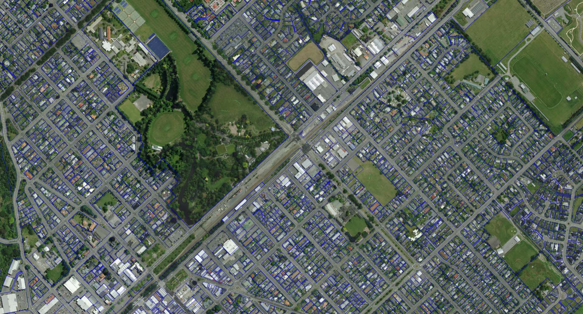
Residents now have two new vantage points to view Ashburton District. An interactive kerbside collection map and the release of the latest urban aerial imagery showing properties and landscape.
“Council provides a range of interactive maps to give residents easy access to information, from three waters utilities to road closures, population statistics and election ward boundaries”, said Group Manager Business Support Leanne Macdonald. “We’re pleased to have added two new public map features to our map gallery”.
The colour-coded kerbside collection map allows people to search for their address or scroll and zoom on the map, click their zone boundary to see their collection day and calendar. The map also contains locations and opening hours of waste recovery facilities and public caravan dump stations.
The latest urban aerial imagery was captured last summer and can be viewed alongside other property information like previous consents and property sales.
For all the maps in the gallery: Ashburton LocalMaps Gallery
For the kerbside collection map: Bin It Right Map
For the latest urban aerial imagery, view in: 3 Waters Utilities, Ashburton Property, Tsunami Evacuation Zones
Share this article
Latest News
Council partners with ANZ for business awards
Volunteer civil defence radio operator's long service recognised
Mayor: Keep up the water services feedback
Council services over Easter and Anzac Day 2025
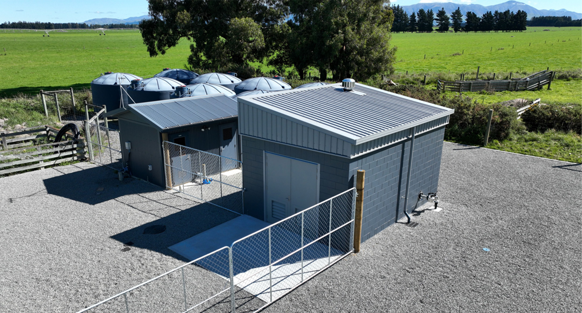
Mayfield water treatment plant upgrade goes live
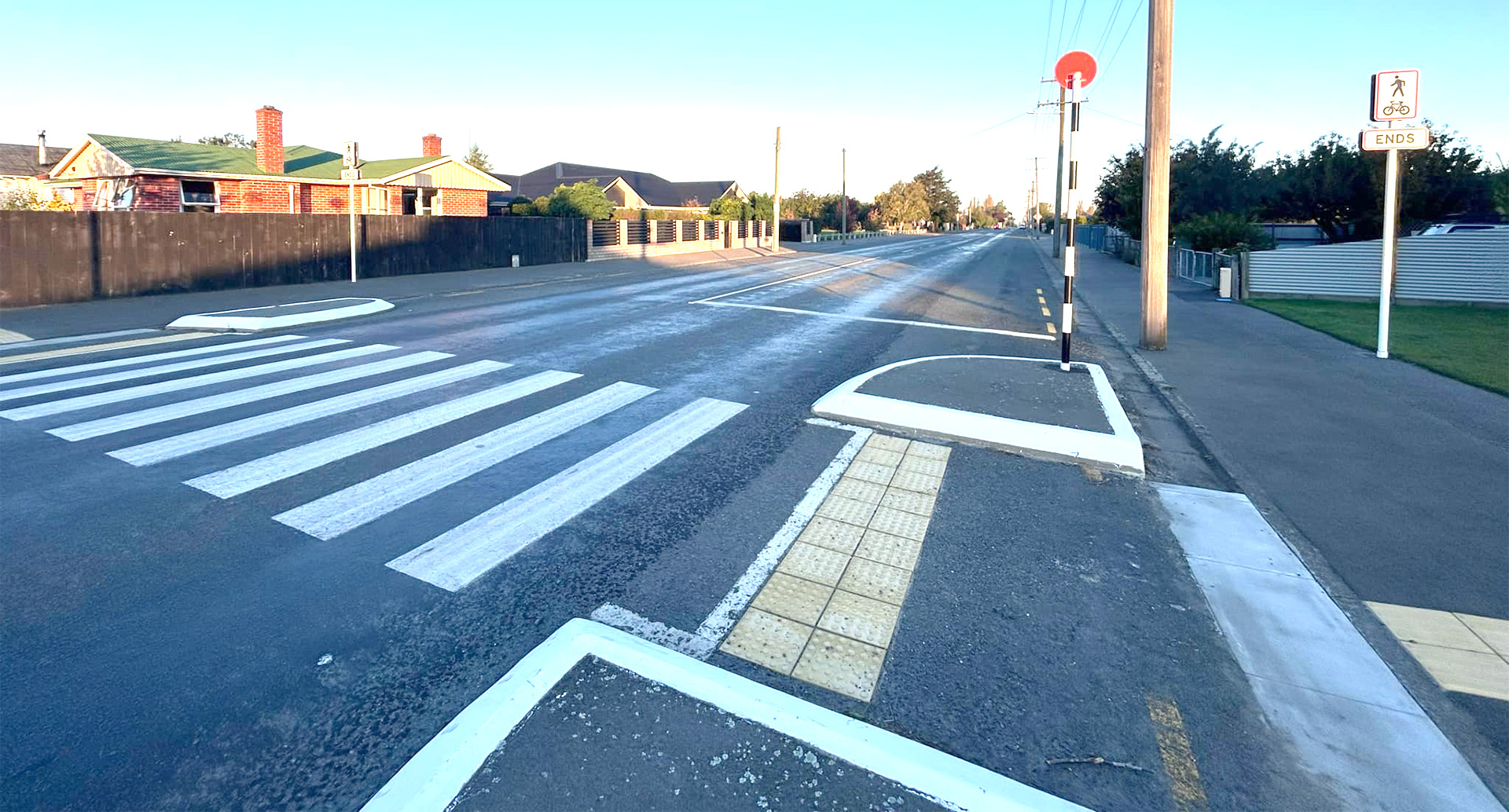
Road Closures
BLANDS ROAD
from 17 May 9:00 to 17 May 16:30
WITHELLS ROAD CLOSURE
from 17 Apr 6:00 to 9 May 18:00
EALING ROAD CLOSURE
from 17 Apr 6:00 to 9 May 18:00
TREVORS ROAD
from 7 Apr 7:00 to 27 Jun 18:00
FRISBYS ROAD
from 28 Apr 8:00 to 28 Apr 19:00
View all Road Closures | Live map