Civil Defence monitors Ashburton district under orange warning
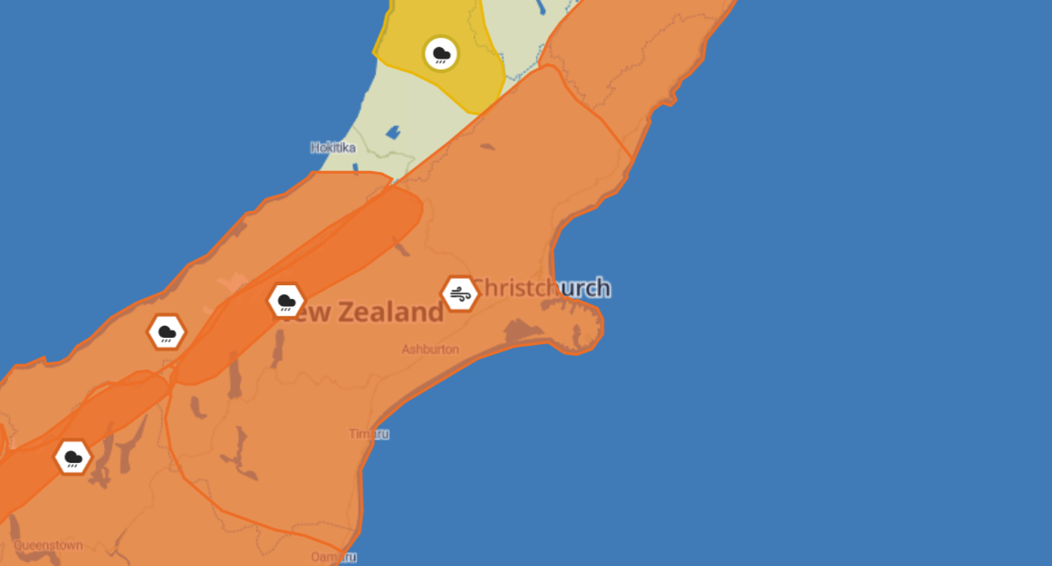
Civil Defence is setting up an Emergency Operations Centre in the Ashburton District Council chambers today (Sunday 17 July) following orange warnings for heavy rain and strong winds in parts of the district from this evening.
Environment Canterbury issued a flood warning earlier today, saying a significant amount of northwest rain was expected to fall in the high country from Sunday afternoon until Tuesday afternoon.
The heavy rain was expected within 30km east of the main divide and the spillover could impact foothill rivers, as well as the usual large alpine rivers.
Ashburton Civil Defence has worries about the Hinds and Ashburton Rivers, which breached their banks in last year’s big rain event.
New flood protection work in those rivers is likely to be tested so the EOC is being set up in case emergency help is needed. Staff are closely monitoring the situation and will keep people informed.
Strong northwest gales are expected from 6pm tonight and trees could come down, because the ground is so wet already. The higher flows in the rivers are expected from late Monday afternoon.
Ecan issued a text alert this morning advising high flows were expected in the Ashburton catchment from Monday morning and overflows were possible in vulnerable areas.
People with property adjacent to rivers that may be affected are urged to closely monitor their own situation, and move stock away from flood prone areas.
High flows are expected in the Rangitata and Rakaia Rivers.
Ashburton River, South Branch and North Branch, are likely to see flows that test the still vulnerable flood protection works in the upper reaches of the scheme from Monday to Wednesday.
Other rivers and streams could be impacted, but to a lesser degree.
Ecan’s flood warning is available in detail here: Flood warning | Environment Canterbury (ecan.govt.nz)
The MetService orange heavy rain warning is for 44 hours from 5pm today until 1pm Tuesday.
Periods of heavy rain are forecast, with thunderstorms possible. Expect 300 to 450mm of rain to accumulate about the main divide, and 200 to 300mm within 20 to 30km east of the divide especially south of the Rakaia.
Peak rates of 15 to 25 mm/h are expected about the divide. Please note, that this is unusually significant spillover, and this warning could possibly be upgraded to a Red Warning. Please also note, that significant snowmelt could further enhance river flows. Freezing level is about 1400 metres, rising to 2000 metres by midnight Sunday.
The heavy rain may cause streams and rivers to rise rapidly. Surface flooding and slips are also possible and driving conditions may be hazardous.
The orange strong wind warning is for 36 hours from 6pm tonight until 6am Tuesday.
Northwest gales are forecast to be severe in exposed places, with gusts reaching 150km/h about the high country and 120km/h further east.
Strong wind gusts could damage trees, powerlines and unsecured structures. Driving may be hazardous, especially for high-sided vehicles and motorcycles.
For up-to-date weather forecasts go to www.metservice.com/warnings/home
Share this article
Latest News
Council partners with ANZ for business awards
Volunteer civil defence radio operator's long service recognised
Mayor: Keep up the water services feedback
Council services over Easter and Anzac Day 2025
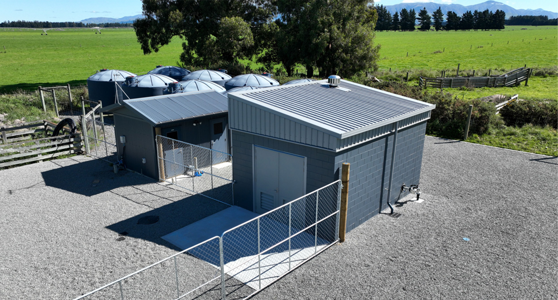
Mayfield water treatment plant upgrade goes live
Road Closures
BLANDS ROAD
from 17 May 9:00 to 17 May 16:30
WITHELLS ROAD CLOSURE
from 17 Apr 6:00 to 9 May 18:00
EALING ROAD CLOSURE
from 17 Apr 6:00 to 9 May 18:00
TREVORS ROAD
from 7 Apr 7:00 to 27 Jun 18:00
FRISBYS ROAD
from 28 Apr 8:00 to 28 Apr 19:00
View all Road Closures | Live map